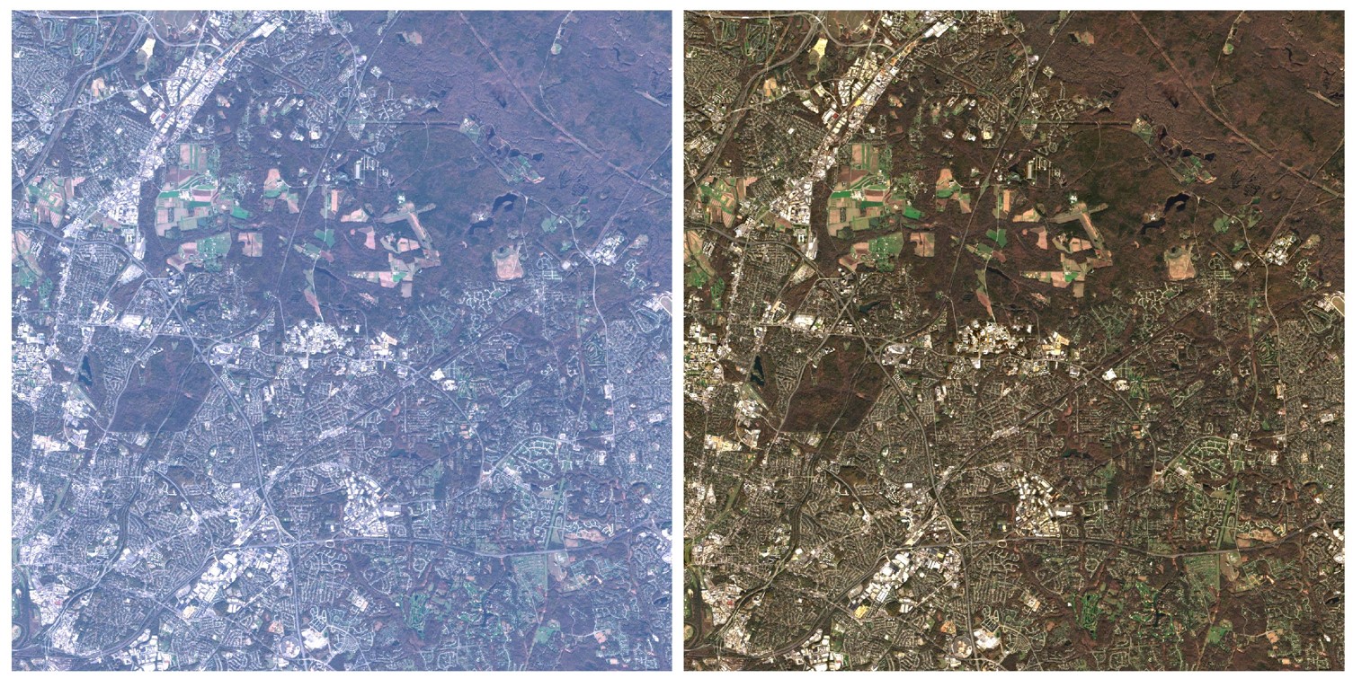
The atmospheric correction code, Land Surface Reflectance Code (LaSRC), developed Eric Vermote (NASA/GSFC) (Vermote et al., 2016), and adapted by the USGS at EROS, is applied to the data of both sensors. LaSRC is based on the 6SV radiative transfer model and the MODIS-derived red to blue band ratio to characterize surface reflectance. The surface reflectance validation for Landsat 8 and Sentinel-2 are provided via the Committee on Earth Observation Satellites (CEOS) Atmospheric Correction Inter-Comparison Exercise (ACIX) I and II initiatives (Doxani et al., 2018 & Doxani et al., 2023).
The Fmask algorithm (Qiu et al., 2019) is applied to the TOA data to derive per-pixel cloud, cloud shadow, snow/ice, and water masks. HLS dilates the cloud and cloud shadow by 150 meters and adds the LaSRC 2-bit aerosol level information to the Fmask representation.

